
The project site for the Pillars Boat Launch ramp and dock design is located on Kenai River, Alaska, at approximately River Mile 12.5. Kenai River is a world-class salmon-producing stream and the proposed project area is a popular site for fishing. The State of Alaska acquired the Pillars site and planned to increase the size and capacity of the launch ramp in order to better accommodate the large number of fisherman using the river. Figures 1 and 2 show the Kenai River at Pillars. For the project, the effects of the new boat launch ramp are assessed through numerical river simulation. In particular, the increased potential, if any, for erosion/sedimentation due to widening of the ramp and the desirability of leaving the Pillars in place versus removing them is examined. The numerical model used for the project is the enhanced version of the U.S. Bureau of Reclamation’s GSTARS model that was developed earlier by Dr. Molinas, Hydrau-Tech, Inc.
The GSTARS model is based on the use of stream tubes that are defined as conceptual tubes carrying a constant discharge along them. Water and sediment is routed along each stream tube according to the governing flow and sediment transport equations. Through the use of stream tubes, the depth and velocity variation across the channel, as well as along the river reach can be determined. These hydraulic quantities are then used in computing sediment erosion/deposition across the river. Comparison of simulation results with and without the new facilities indicated that under low and moderately high flows there would be no additional scour or deposition potential due to the boat ramp. Assessment for extreme-event flows pointed out that at high velocities the existing surface armour layer would be eroded and the finer sediments beneath the existing coarser surface sediments would be exposed. Under these conditions, the presence of concrete pillars may provide additional bank protection and may help the flows to maintain their present direction and magnitude.
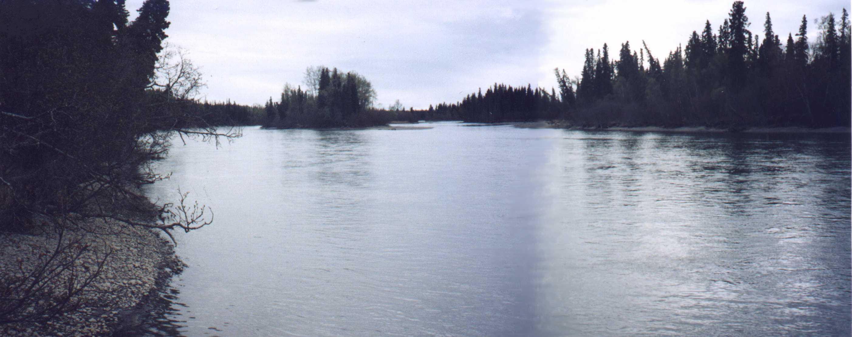 Figure 1. Kenai River upstream from the boat luanch and docking site at Pillars.
 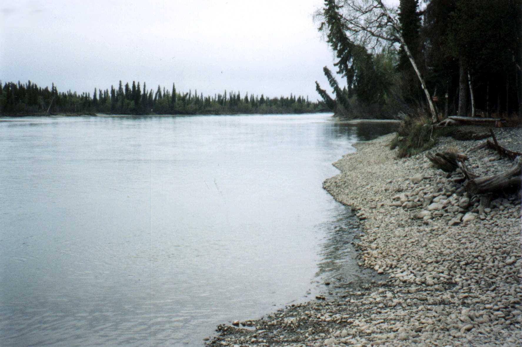 Figure 2. Kenai River downstream from project site
 Pillars Boat Launch Ramp & Dock Design on Kenai River, Alaska