
 Sanmenxia Reservoir Sediment Modeling
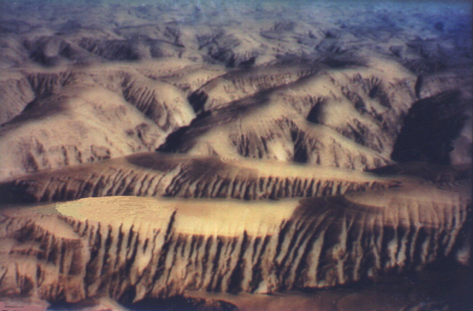 Figure 2. Loess plateau that feeds large quantities of sediment to Yellow River.
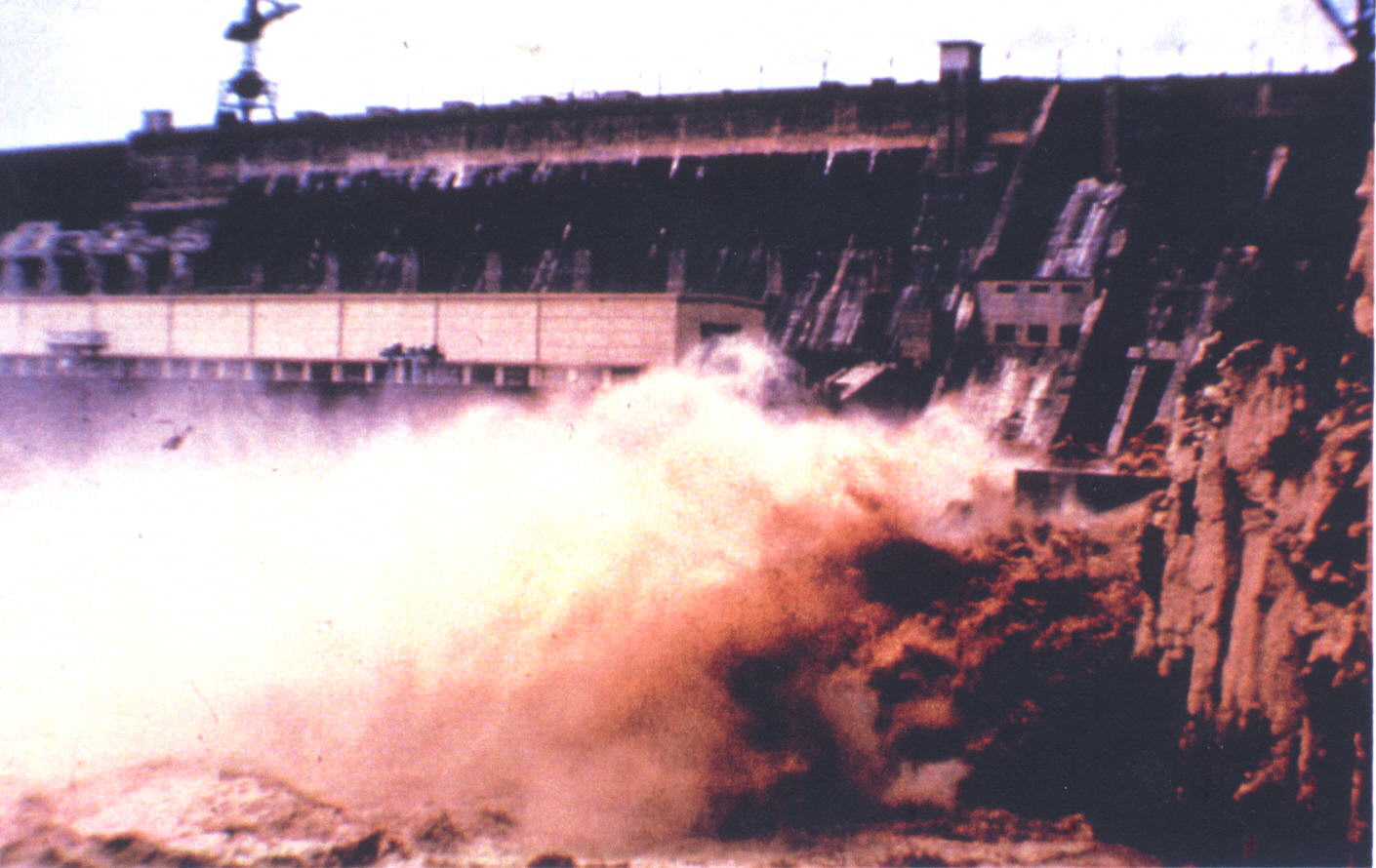 Figure 3. Sediment flushing operation through Sanmenxia dam releases up to 90 percent solids.
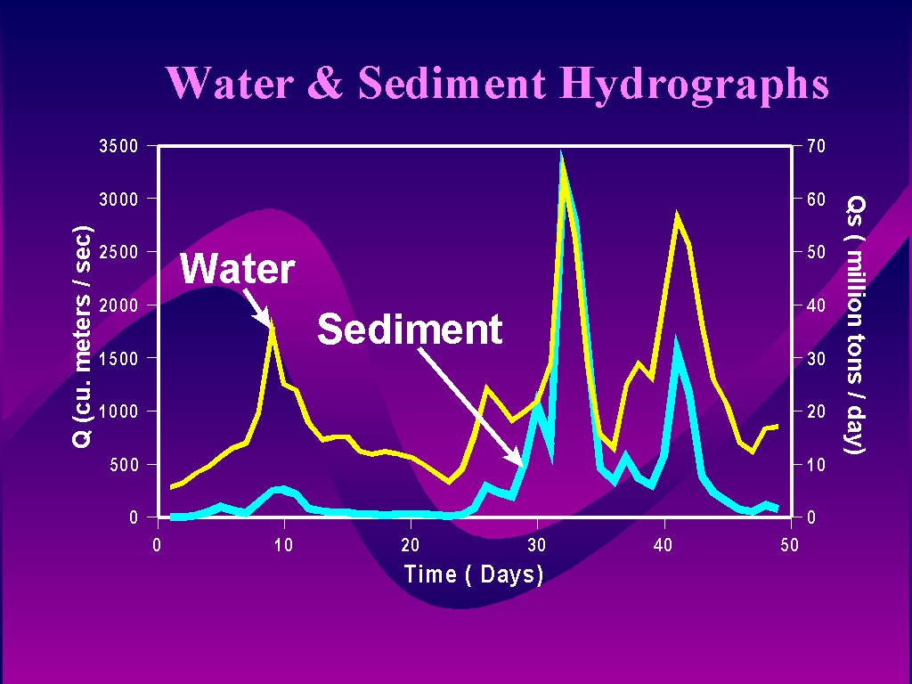 Figure 4. Water and sediment inflow into Sanmenxia reservoir
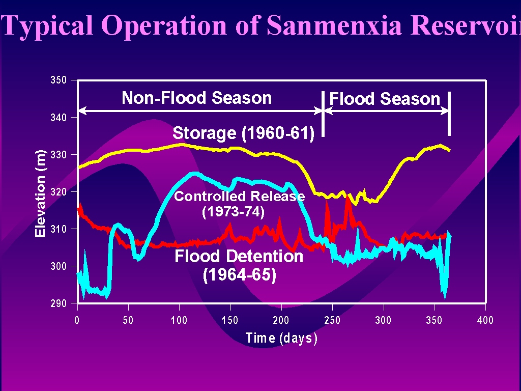 Figure 5. Typical operation of Sanmenxia reservoir stores water during non-flood season and releases during flooding season
 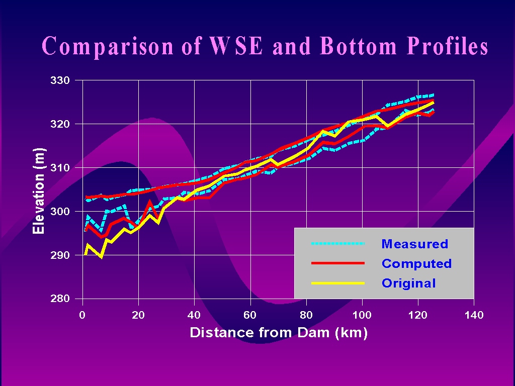 Figure 6. Comparison of simulated water surface elevations and bottom profiles with observed values